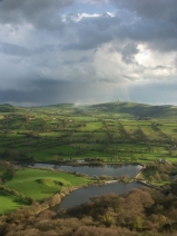
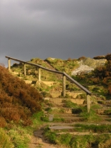
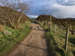
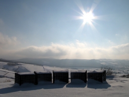
Tegg’s Nose now has its own Tea Room! There is a Facebook page where you can find out more, and keep up to date with all the yummy treats on offer. www.facebook.com/Teggsnosetearoom.
Search Results
Green Flag Award
Tegg’s Nose has been awarded the Green Flag standard, the award is given to outstanding community gardens, cemeteries and universities in the UK, judged on environmental standards, sustainability, cleanliness and community involvement. In total, 1,686 parks in the UK received the award this year. Read more
Tegg’s Nose Facebook Page
Visit the Facebook Page here: www.facebook.com/TeggsNose to keep up to date with the latest news and events at Tegg’s Nose.
Save 5% off all Accommodation
Save an additional 5% discount off all accommodation booked through our partner website with Cottages4You. Book online by visiting: www.chooseacottage.co.uk/bsp or call 0845 268 1478 for more information, quoting reference PART05 to receive your 5% discount.
Proposed off-street parking places order – Tegg’s Nose Country Park
On 18th January 2012 notice was published of a proposed off-street parking places order in relation to the Tegg’s Nose Country Park Car Park, the effect of which would be to amend the existing order controlling the car park. Full details of the proposals together with the address to which comments on the proposals may be sent are available on the Parking Services pages.
Teggs Nose
Links
www.bootsandpaws.co.uk – Boots and Paws. places to visit, walks, accommodation and digital photographs from around the UK.
www.peakdistrictcycling.co.uk – Locations, routes, and blog about Peak District Cycling.
www.peakdistrictcam.com – Peak District Photography.
www.stanageedge.co.uk – Stanage Edge, Peak District National Park, photographs and information.
www.goytvalley.co.uk – Walks, photographs and information about the Goyt Valley in the Peak District National Park.
www.macclesfield-forest.co.uk – Walks, Photography Gallery and Information about Macclesfield Forest in Cheshire.
www.facebook.com/Teggsnosetearoom – Tegg's Nose Tea Room.
www.peakdistrict.org – Peak District National Park Authority.
www.derbyshireheritage.co.uk – Derbyshire Heritage. Information about Derbyshire and the Peak District.
www.sandstonetrail.com – Walking Cheshire’s Sandstone Trail, Route, Maps, Information and Photos.
www.parksideinteriors.co.uk – Refurbishment and fit out services to the Hotel, Leisure and Licensed Retail Sectors.
www.walkingbritain.co.uk – Walks, footpaths and trails, over 3000 pages of information.
We are not responsible for the content of any websites featured in the links library and have tried to link to only family friendly respected sites, if you do find any links that may be deemed offensive or unsuitable please let us know and we will remove them.
Cycle Route 1 – Tegg’s Nose to Parkgate
Cycle Route 1 – Tegg’s Nose to Parkgate
Cycle Route 71
Length: 62 miles
Time: 6 Hours
Grade: Moderate
Highlights: Macclesfield Canal, Brereton Heath, Little Budworth, Wirral Country Park.
Best time of year: All Seasons
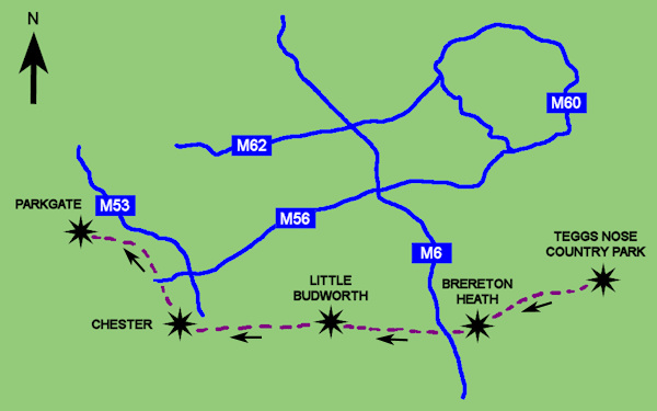
This regional cycle route starts from the Visitors Centre at Teggs Nose Country Park. From the centre turn left and head downhill initially towards Macclesfield Town in the west. Turn left along Broadcar Road towards Langley Village and then head towards Sutton. From Sutton the route takes you past Sutton Reservoir towards Fools Nook where the cycle route crosses the Macclesfield Canal.
From Fools Nook follow Woodhouse Lane towards Gawsworth Village, (if you wish to see Gawsworth Hall it is a slight diversion from the route here). Marton is the next village on the route with another popular diversion to see the historic Marton Church before heading west towards Brereton Heath Country Park and Brereton Green.
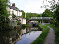
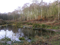
From Brereton Green head west along Back Lane which crosses over the M6 motorway, after just over half a mile after crossing the motorway at Chapel House Farm turn left and then right towards the south of Middlewich and right again at the next junction near a Caravan Park and Briar Pool farm. The route then skirts the south of Middlewich before following alongside the Shropshire Union Canal for a short distance as far as Clive Green and then north towards the west of Winsford past Bottom Flash.
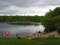
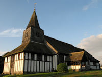
Carry on towards the north with the Weaver Navigation on your left before crossing it at Bradford Mill and heading south for a short distance before once again heading to the west towards Little Marton and then Little Budworth Country Park, another interesting place for a stop with its forest trails and nearby racing circuit, Oulton Park.
After heading past Little Budworth carry on west and cross the A49 road near Cotebrook and travel along Utkinton Lane as far as Utkinton Hall where you turn right along Smithy Lane and then head right through Utkinton. After following the road through Utkinton turn left towards Tarvin along Willington Road and Cross Lane. Follow the Baker way from Tarvin past Hockenhull Hall and the old packhorse bridge crossing the River Gowey towards the outskirts of Chester City. At the crossroads near Brown Heath carry straight on along Plough Lane towards Christleton and then follow the Baker Way to the north and through the City along the Shropshire Union Canal as far as Backford Bridge near Moston where you need to turn left and left again before heading north alongside the railway towards Capenhurst Railway Station.
The last part of the 62 mile route is then from Capenhurst to the north west along Rectory Road and then through the Wirral Country Park and along the Wirral Way near Willaston before reaching the end at Parkgate, Neston. The cycling route can be followed in reverse but there is the steep uphill section from Fools Nook towards Teggs Nose Country Park to consider if heading from west to east.
Walk 1 – Tegg’s Nose Country Park Trail
Walk 1 – Tegg’s Nose Country Park Trail
Length: 2.5 miles
Grade: Moderate
Highlights: Tegg’s Nose Quarry, Macclesfield Forest.
Best time of year: Summer
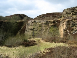
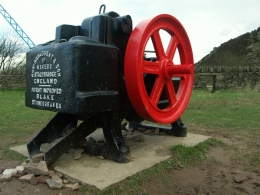
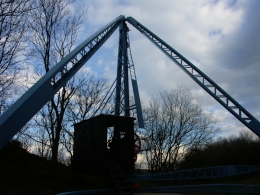
This short walk starts from the Visitors Centre and car park off Old Buxton Road. From the centre head back towards the entrance to the country park and turn left to follow the path. After a short distance pass through a stile and turn left to take the small set of stairs and carry on uphill towards the old quarry and the quarry equipment display, before you reach the quarry area there are good views to your left looking across towards Macclesfield Forest.


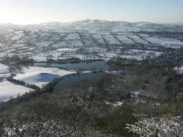
The main paths are good walking routes at the Country Park but take care especially with young children around the quarry workings and equipment as there are many steep drops around the rock faces. Carry on along the path heading south and after a short distance you will reach the Tegg’s Nose summit at a height of 380 metres where there are more great views across Macclesfield Forest and Tegg’s Nose and
Bottoms Reservoir as well as across Macclesfield and towards the Telecom Tower on Sutton Common.
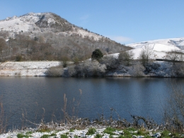
Return to the path as it loops back towards the north and look for a path on the left which you then follow downhill towards Tegg’s Nose Reservoir. When you reach the reservoir walk along the dam before turning left alongside the reservoir and then alongside Walker Barn Stream towards the north. Carry on along this path until you reach Clough House Farm and bear left and uphill along Saddlers Way which will take you back to the Visitor Centre.

Contact
Address:
Tegg’s Nose Country Park
Buxton Old Road
Macclesfield
Cheshire
SK11 0AP
Tel: 01625 374833
(Ranger Service)
View Larger Map
Ranger Service: www.facebook.com/TeggsNose
Click here for Tegg’s Nose Council Website Page
Contact Form:

